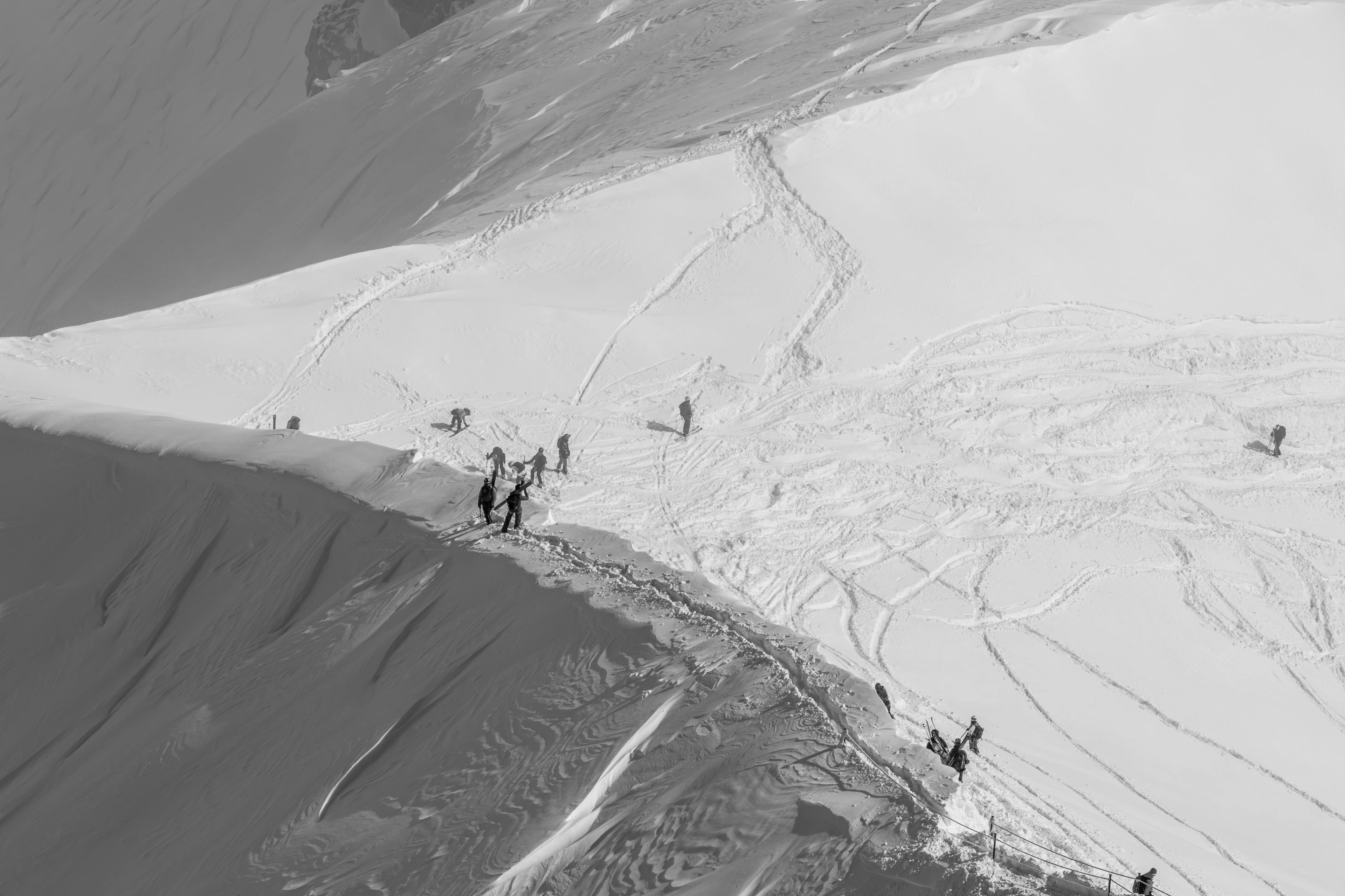
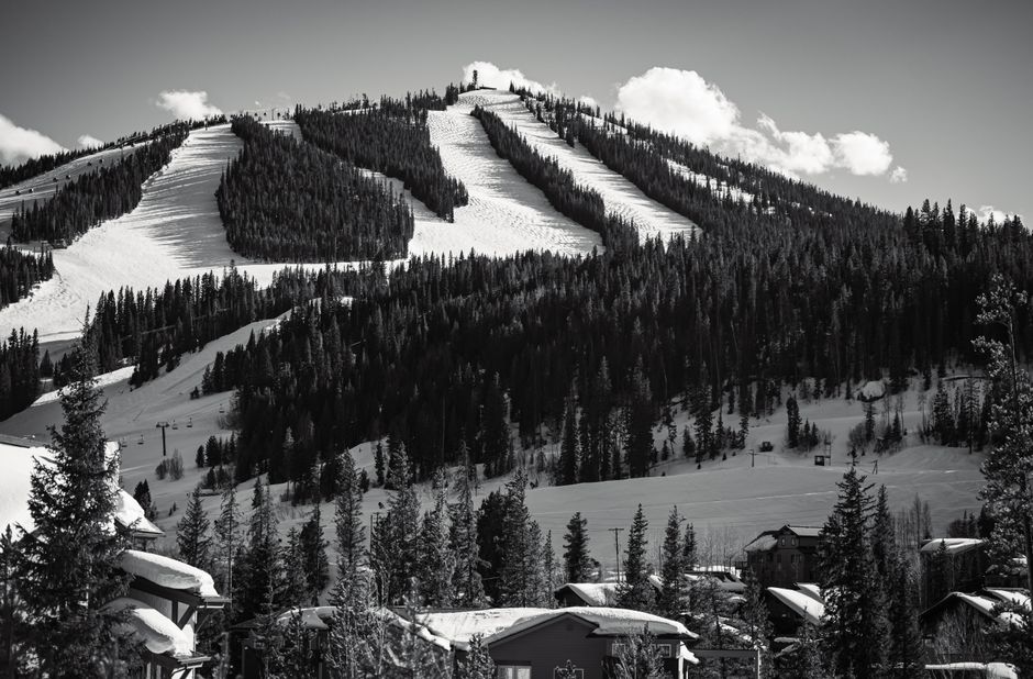
California's ski resorts are gearing up for a significant storm cycle predicted to bring substantial snowfall to the region. According to WeatherBrains, the storm, expected to begin on the night of February 15th, could deliver between 1.5 and 8 feet of snow to the Sierra Nevada by February 21st.
The storm is expected to unfold in phases, with varying snow levels and intensity. Here's a breakdown of what skiers and snowboarders can expect:
- Initial Phase (February 15-17): Snow levels will start relatively high, around 5,000 to 5,500 feet, before plummeting to between 1,500 and 2,500 feet by Tuesday night. This initial phase could bring 20 to 50 inches of snow to many Sierra mountains. Expect denser snow initially, with ratios around 9-12:1.
- Mid-Week Refresh (February 18-19): A colder system is expected to move in, adding another 4 to 23 inches of snow to favored areas. Snow quality should improve significantly during this period, with snow levels hovering between 2,200 and 3,300 feet and ratios around 14-19:1.
- Late-Week Pulses (February 20-21): The pattern is expected to continue producing light to moderate snowfall, potentially adding another 1 to 12 inches. The exact timing and intensity of these late-week pulses are less certain.
Wind Concerns:
Strong winds are a significant factor in this forecast, with sustained speeds potentially reaching 30-40 mph and gusts of 60-85 mph along ridgelines, especially on Monday night and Tuesday. These winds could impact upper mountain lift operations and create challenging conditions for skiers and snowboarders.
Regional Variations:
- Tahoe and Central Sierra: Expect widespread coverage and significant snowfall during the initial phase of the storm.
- Mammoth: Should also see substantial snowfall, particularly during the early part of the week.
- Southern California: Will receive a solid storm, although higher snow levels may result in denser snow at times.
Model Consensus:
Weather models such as the ECMWF, AIFS, and GFS generally agree on the timing of the main surge of the storm. However, there are some differences in their forecasts for wind intensity and late-week snowfall. The GDPS model is reportedly the most optimistic regarding total snowfall in the central Sierra, according to WeatherBrains.
Extended Outlook:


Longer-range forecasts suggest that California will remain on the colder side with an active storm track into late February, increasing the likelihood of more snowfall opportunities beyond this specific storm cycle, according to WeatherBrains.
Here are the predicted snow totals for a few resorts, according to WeatherBrains:
- Dodge Ridge – 46″–93″
- Kirkwood – 45″–90″
- Bear Valley – 42″–84″
- Mammoth – 38″–74″
- Sugar Bowl – 36″–71″