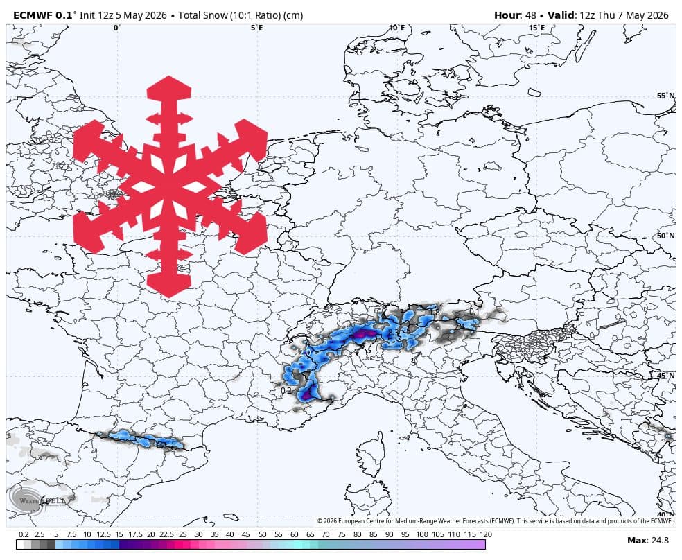
According to data from WeatherBell and reported by SnowBrains, a late-season storm system is currently impacting the European Alps, bringing a fresh layer of snow to high-elevation zones. This weather event is expected to persist through midday Thursday, May 7, before giving way to a quieter, albeit uncertain, period of weather.
Regional Snowfall Distribution
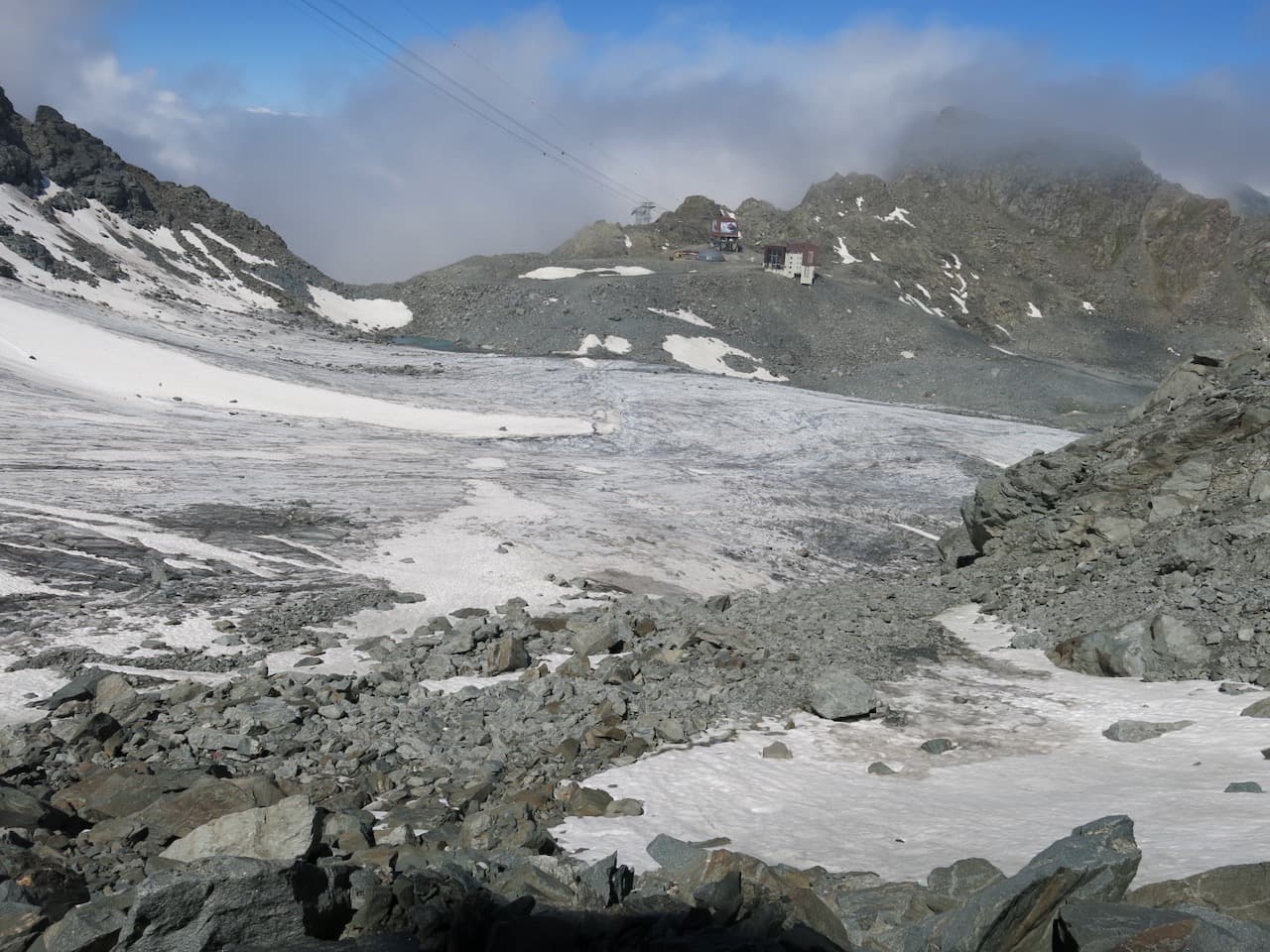
The current storm is highly selective regarding geography. The western and central high Alps are positioned to receive the most significant accumulation. In contrast, the northern and eastern margins of the region are expected to see minimal precipitation, with many areas receiving little more than a trace.
Meteorological models suggest the primary window for snowfall occurs between Tuesday night and Thursday midday. During this timeframe, snow levels are expected to hover between 1,800 and 2,200 meters. With snow-to-liquid ratios (SLRs) estimated between 6 and 11, skiers should expect a denser, more substantial snowpack rather than light, fluffy powder.

Resort-Specific Outlook
SnowBrains reports the following anticipated snowfall totals for key resorts through Thursday, May 7:
- Cervinia: 15-19 cm
- St. Moritz: 13-17 cm
- Zermatt: 10-12 cm
- Val Thorens: 9-12 cm
- Val d’Isère: 9-12 cm
- Wengen (Jungfrau): 8-11 cm
- Verbier: 8-10 cm
- Tignes: 8-10 cm
- Chamonix: 7-9 cm
- Les 3 Vallées: 7-8 cm
- Samnaun: 5-7 cm
- Sölden: 4-6 cm
Notably, resorts such as Ischgl, St. Anton, Kitzbühel, and Cortina d’Ampezzo are currently forecasted to see zero accumulation during this storm cycle.


Looking Ahead: The Weekend and Beyond
Conditions are expected to settle significantly starting Thursday afternoon. Through Saturday, the weather will likely remain quiet with only limited flurries possible. Any precipitation that does occur during the weekend will likely take place at higher elevations—typically above 2,000 meters—and will consist of dense, wet snow. Skiers looking for fresh tracks will need to focus on aspects where recent snow has been preserved.
The outlook for next week remains fluid. While models suggest a potential for 10-30 cm of snow between Monday night and Friday, the timing and intensity of these cold troughs remain uncertain. Forecasters continue to monitor whether an organized pulse will arrive early in the week or if the region will experience a more delayed, fragmented weather pattern.