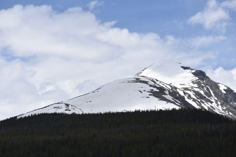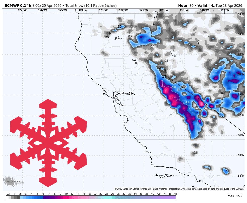
According to a report from WeatherBrains via SnowBrains, the California Sierra is bracing for a light spring storm cycle. The precipitation is expected to begin building on the afternoon of Saturday, April 25, continuing through Sunday and tapering off by early Tuesday, April 28.
While the storm is not forecasted to be a major powder event, it will provide a light dusting for the region. Snow levels are expected to drop from approximately 8,000 feet down to 6,000–6,500 feet, which should help keep the precipitation as snow rather than rain at lower elevations. However, weather models indicate that the accumulation will be uneven, with areas south of the Tahoe basin seeing the highest potential for meaningful snow.
Expected Snowfall Totals (April 25–28):
- Dodge Ridge: 6-8 inches
- Bear Valley: 5-7 inches
- Kirkwood: 5-7 inches
- Mammoth: 3-4 inches
- Sugar Bowl: 2-3 inches
- Palisades Tahoe: 2-3 inches
- Mt. Rose: 1-2 inches
- Heavenly: 1-2 inches
- Diamond Peak & Northstar: 1 inch
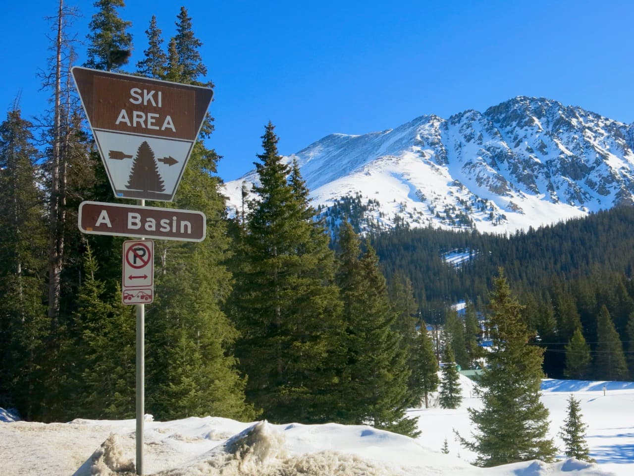
The quality of the snow is anticipated to be dense, typical of spring conditions, with a snow-to-liquid ratio (SLR) generally falling between 8-11. Exposed mountain ridges may experience wind gusts reaching 30-40 mph throughout the weekend, which could impact visibility and comfort for those planning to visit the few remaining open resorts, such as Palisades Tahoe and Mammoth.
Following the departure of the storm system, the forecast shifts significantly. From Tuesday afternoon through Friday, models suggest a dry and warmer trend, with temperatures climbing into the 40s and 50s. Looking toward the following weekend, while some models show a slight chance of weak showers, the broader pattern remains focused on above-normal temperatures and limited precipitation. Any snow that does fall late next week is currently considered speculative.