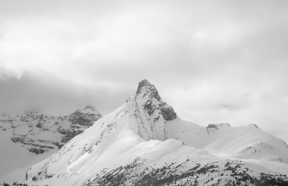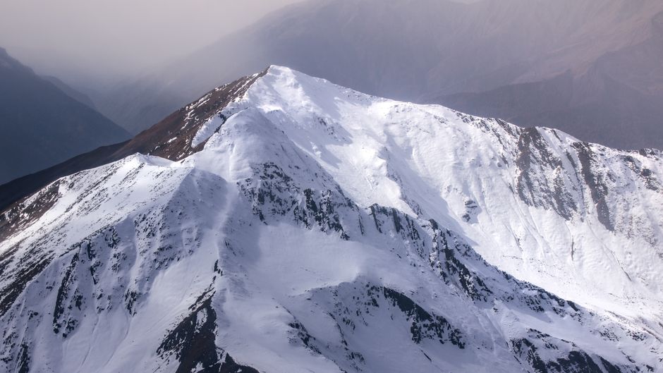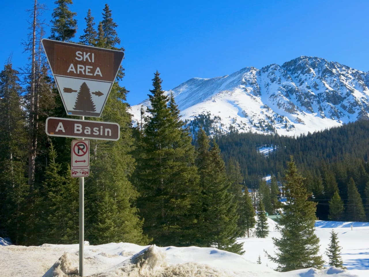
According to a recent report from WeatherBrains via SnowBrains, New Mexico is bracing for a late-season weather event that promises to deliver a much-needed boost to high-elevation snowpack. While the state's ski resorts have officially concluded their operating seasons, this incoming storm system offers a significant update for backcountry enthusiasts tracking mountain conditions.
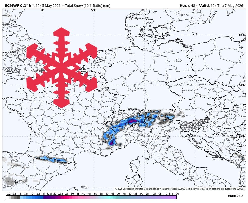
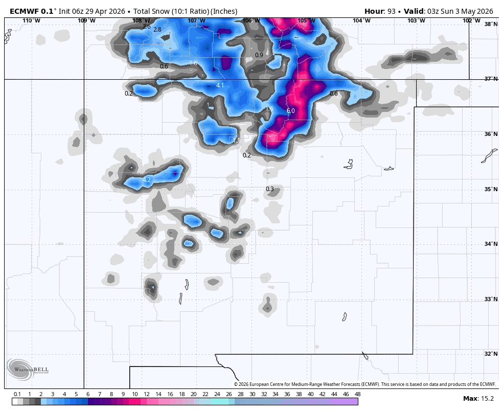
The weather pattern is expected to shift on Thursday, April 30, as a colder, moisture-rich east flow moves into the region. While Wednesday remains dry and seasonable, meteorologists anticipate precipitation will begin developing late Thursday, primarily impacting the northern mountains. Early in the event, snow levels will hover between 9,000 and 10,000 feet, resulting in heavy, wet snow. As the storm intensifies overnight, snow quality is expected to improve, with snow-to-liquid ratios (SLRs) rising, leading to better accumulation.
The peak of the storm is forecasted to last from Thursday night through Saturday evening. During this window, mountain terrain across the state should see snowfall totals in the 5-10 inch range. The northern Sangre de Cristo range is projected to be the primary beneficiary, with Taos potentially seeing the highest totals, estimated between 7 and 11 inches. Other areas, including Red River, Angel Fire, Ski Santa Fe, and Ski Apache, are anticipated to receive between 5 and 8 inches of fresh snow.
As the storm progresses, snow levels are expected to drop to between 7,000 and 8,000 feet, ensuring that even lower-elevation mountain areas receive a coating of snow. Wind will be a notable factor, with gusts on mountain peaks likely reaching 25-35 mph. By Saturday night, the system is expected to dissipate into scattered, lighter showers.
Looking ahead to the following week, the forecast remains uncertain. Meteorological models indicate a lack of consensus regarding potential disturbances between Monday and Friday, May 8. While the region may experience unsettled afternoons and temperatures near or below normal, consistent, heavy accumulation appears less likely. Backcountry travelers should be prepared for variable conditions and keep a close eye on high-elevation wind, as west-to-southwest flow may make exposed ridges feel particularly harsh even if snowfall remains light.