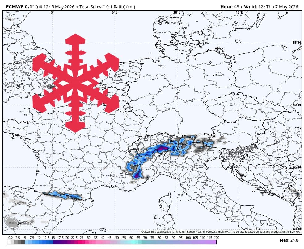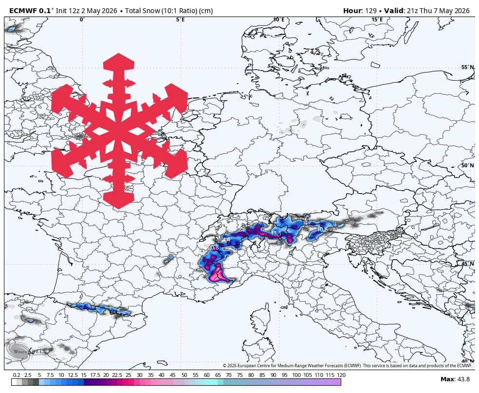
According to data reported by WeatherBrains on SnowBrains, the European Alps are entering an unsettled weather window that will provide a late-season boost to high-altitude snowpacks. The forecast indicates that from Monday, May 4, through Thursday, May 7, 2026, the western and southern Alps will experience the most significant precipitation, with the primary accumulation focused on high-elevation terrain.
The storm is expected to arrive in two distinct phases. Initially, snow levels will hover between 2,300 and 2,400 meters, limiting accumulation to the highest peaks. As the system intensifies between Wednesday and Thursday, temperatures are projected to drop, pushing the snow line down to between 1,800 and 2,100 meters. This will allow for more widespread coverage across the upper-mountain sectors of favored resorts.
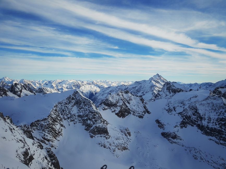
Regional Impact and Expected Totals
The model consensus points toward a western tilt for the storm. Resorts in France, Switzerland, and Italy are expected to see the bulk of the snowfall. Specifically, Val Thorens and Cervinia are currently projected to receive the highest totals, with estimates ranging between 20 and 32 cm. Conversely, eastern resorts such as Kitzbühel, St. Anton, and Cortina d’Ampezzo are expected to remain largely unaffected, with little to no accumulation forecasted.
It is important for spring skiers to note the expected snow quality. With an estimated Snow-to-Liquid Ratio (SLR) of 8-10, the precipitation is categorized as dense, heavy spring snow rather than the light, dry powder often associated with mid-winter storms. Furthermore, while the storm will bring fresh accumulation, wind speeds are not anticipated to reach extreme levels, with only localized gusts expected early in the week.
Looking Ahead


Following the mid-week storm, the Alps are expected to see a relative break in activity on Friday and Saturday. Looking toward the extended period of May 10-12, forecasting models currently show significant divergence. While some guidance suggests additional unsettled weather with potential for 5-15 cm of snow in the high western Alps, other models indicate much lighter outcomes. Given the current lack of consensus, the outlook for the second week of May remains uncertain.